As in terrain analysis, make maximum use of graphics to analyze the effects of
weather on combat operations. Overlays are convenient for integrating weather,
terrain, and NBC analysis. Weather and terrain overlays assist in accurate
predictions of the effects of various chemical and biological agents. Elevations,
slope, vegetation, soil, and water area overlays will show the areas of expected
high concentration or persistent effect of chemical agents and smoke. Cloud cover,
fog, and terrain-influenced wind overlays will assist in predicting the area where
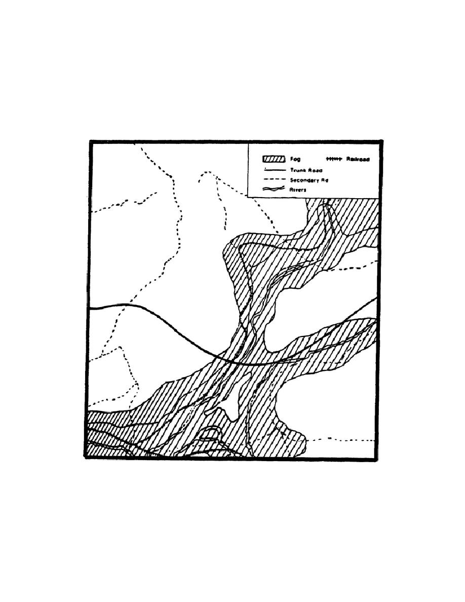
biological and chemical vapor clouds will be most effective. Hydrology and fog
areas are good examples of integrating weather and terrain effects with terrain
analysis. Additional examples are on the following pages.
Figure 3-1. Hydrology and Fog Area Weather Overlay.
Figure 3-1 shows fog in river valleys is normal in many areas and will make early
morning activities difficult to detect. These same areas could contain chemical
cloud vapors. These factors have an effect on cross-country trafficability and use
of LOS.
3-7
IT 0462


 Previous Page
