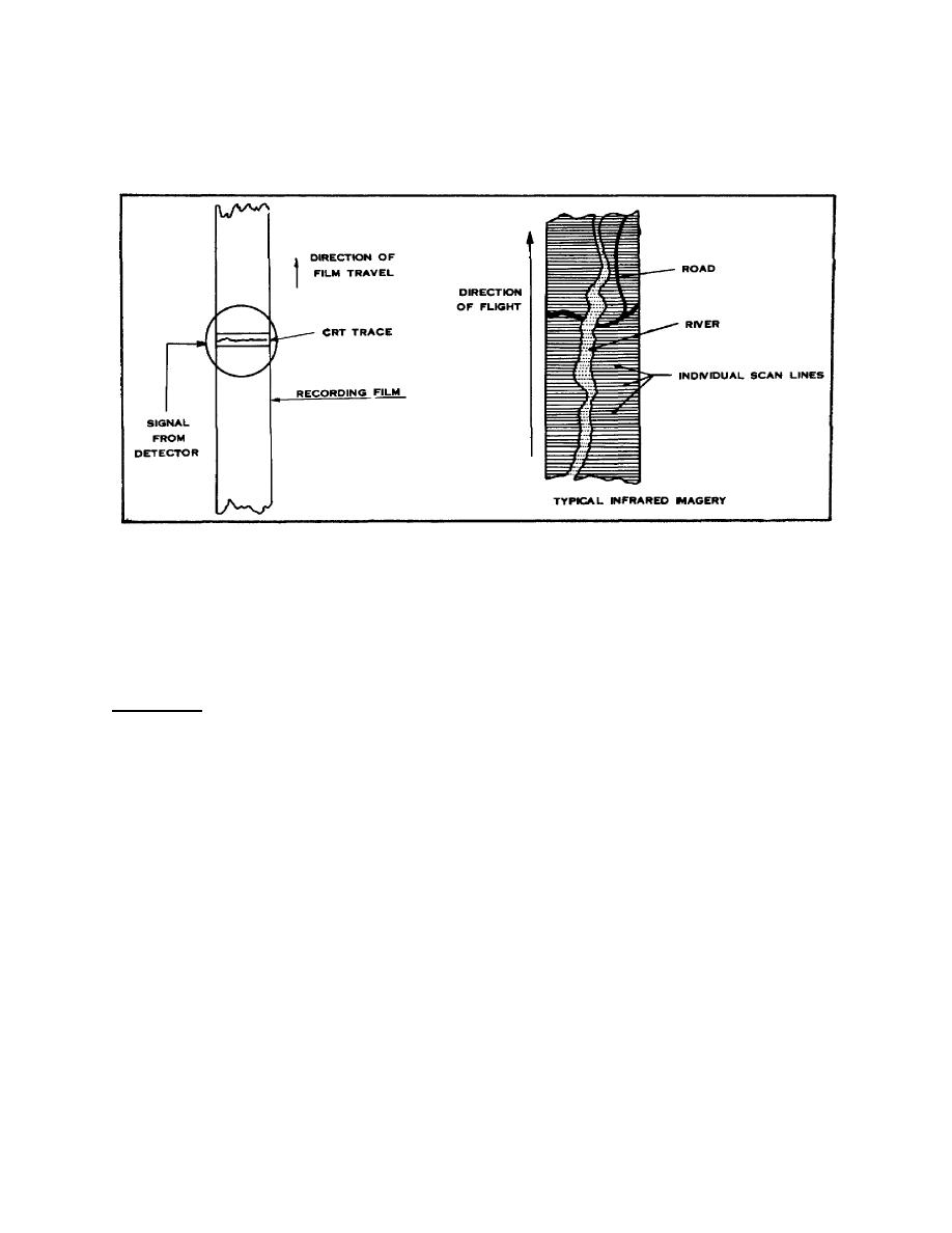
(1) The light from the tube is then focused onto standard aerial photographic film.
The photographic imagery then consists of a series of line scans perpendicular to the aircraft
track as shown in Figure 1-7. Because of temperature differences between surface targets
the imagery will resemble a continuous strip photograph of the area.
Figure 1-7. Recording Line Scan Information.
(2) Image information can also be recorded on video tape. This video tape can
then be played back on special viewers after the mission. A third possible method of using IR
imagery is to portray the individual line scans on a television-type, real-time viewer. A moving
map-like presentation of the area scanned by the aircraft can be seen on the screen.
13. Limitations. All things have their limitations, IR included. An IR strip does not have a
perspective center and thus lacks the radial perspective of conventional photography. Line
scan patterns may be bold imagery acquired at low altitudes and fast aircraft speeds or
subdued imagery acquired at high altitudes and slow aircraft speeds, depending upon the
conditions of scanning. Distortions in IR imagery hampers the imagery analyst's (IA) ability to
make measurements; they are a direct result of:
a.
Scale compression which gives imagery the appearance of ground features being
wrapped around a cylinder. As the 'look angle" increases, larger and larger ground distances
are compressed into equal image distances.
b.
Incorrect velocity over height (V/H) is the result of unexpected changes in terrain
clearance caused by abrupt changes in elevation in areas of moderate to high relief and/or
13
IT0654


 Previous Page
