PART E - DEVELOPMENT OF TERRAIN FACTOR OVERLAYS
Analysis
of the military aspects of terrain is done through the preparation and
analysis
of terrain overlays. These overlays supplement the information on
standard
topographic-maps. Terrain factors are not shown on military maps but can
be shown
through overlays. They include:
* Tree spacing and stem diameter.
* Stream width, depth, velocity, bank height, and riverbed composition.
* Canopy closure and density of ground vegetation.
* Soil characteristics.
* Height of vegetation and built-up areas that obscure LOS.
* Climatic conditions and seasonal variations.
* Man-made and natural changes to the terrain.
* Slope and other surface conditions that impede movement.
The defense mapping agency produces terrain overlays that will help the terrain
team analyze the terrain. The terrain team can request these overlays through the
parent topographic battalion. The following examples illustrate types of terrain
factor overlays presently available in some areas.
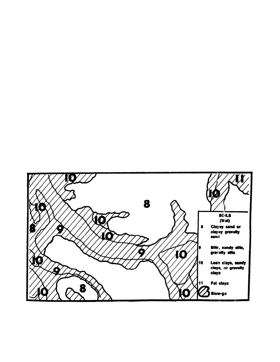
Figure 2-10.
Soil Overlay.
IT 0462
2-14


 Previous Page
