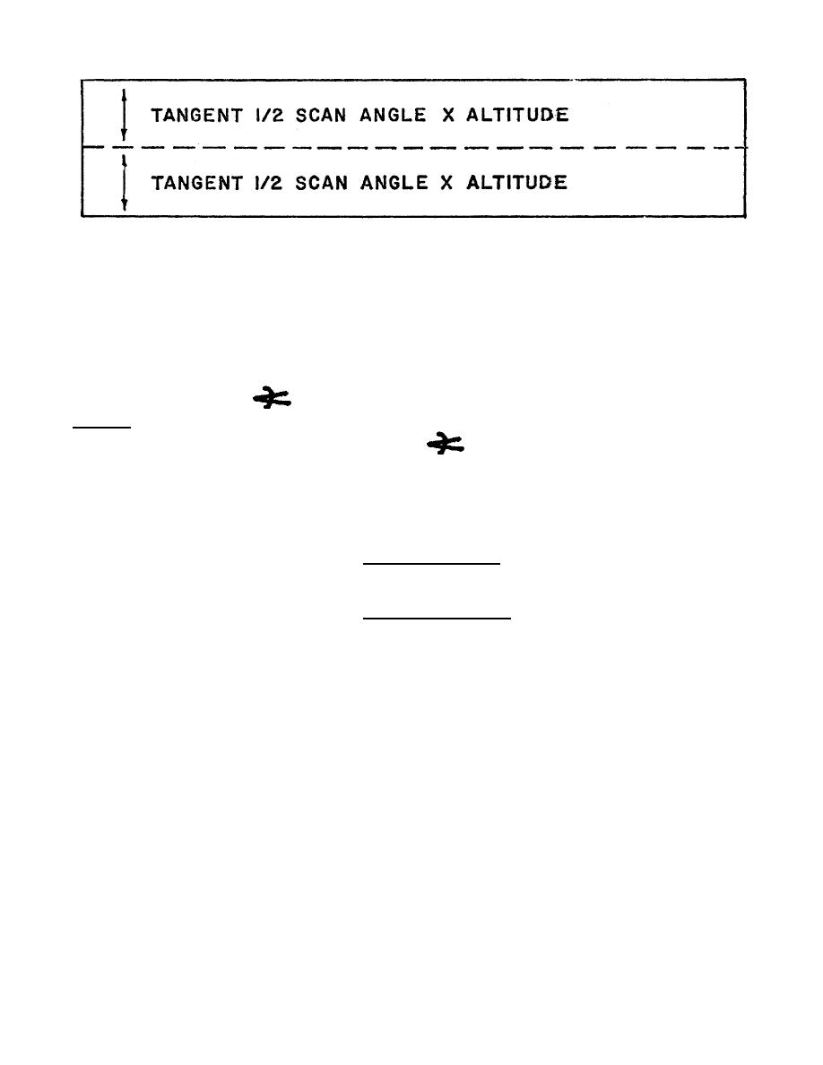
Figure 2-7. Tick Marks Representing
Matching Detail at Nadir.
NOTE: See Figure 1-4 for an explanation of the scan angle.
2. There are two ways to determine ground coverage vertical to the flight path. One way is
that the altitude above ground level (AGL) or H-h in ft equals the approximate ground
coverage in m. To obtain a more accurate measurement, multiply the tangent (Tan) value of
one half the scan angle (
) of the imagery. Your answer will give you ground coverage for
one half of the imagery in ft or m, depending on the measurement you are using. For
example, H-h = 2,000 ft and half the scan angle (
) = 60. You must first use the
trigonometric functions (trig) table (Figure 2-8) to convert 60 to its Tan value, which is 1.7320.
Next, you must multiply 2,000 x 1.7320 = 3,464 ft, which covers 1/2 a flight line width,
multiplied by 2 = 6,928 ft; to obtain m, divide 6,928 by 3.281 and you have 2,112 m of total
coverage. Using the following formula:
Tan 60 x (H-h) x 2
Ground coverage =
3.281
Ground coverage =
1.7320 x 2 000 ft x 2 = 2,112 m.
3.281
NOTE:
In most cases, missions will be flown straight and level. But, on occasion it may not
be practical.
3. For additional information of trig functions, study subcourse IT 0684, panoramic
photogrammetry.
43
IT0654


 Previous Page
